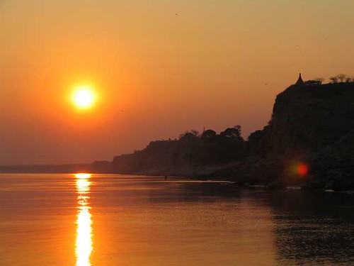
Due to the less water flowing into the Irrawaddy (Ayeyarwaddy) River, the river becomes shallower this year. This has affected the inland waterway along the river, with difficulties encountered by the ships ad boats that sail along Irrawaddy.

This year, the Irrawaddy is shallowest in last five years’ time. In some places (especially in Mandalay and Magwe Divisions) the river has to be closed to larger boats, according to one staff from Inland Waterway Transport Department. “The river has become shallower since last 6 to 7 years ago. However, this year is the worst. In some places the depth is not even two feet”, said he.
According to the Inland Waterway Transport Department of Myanmar, the shallowest points of Irrawaddy last year were 2 feet 6 inches between Myitkyina and Bamaw (130 miles), 3 feet 6 inches between Bamaw and Mandalay (277 miles), 5 feet between Mandalay and Pyay/Prome (334 miles) and 5 feet 6 inches between Pyay (Prome) and Hinthada/Hinzada (256 miles).
This year (2008 – 2009), water level in the Irrawaddy and Chindwin Rivers started to fall down since November 2008. Between Bamaw – Mandalay – Pyay sectors, the shallowest point is as shallow as 2 feet. This has prevented not only large boats from traveling along the river, but also the smaller vessels from running the length of Irrawaddy. Moreover, the current depths are those that normally occurs during the summer months of March and April, according to one staff from the government meteorological survey department.
“The water level drops down faster than the previous years. If the water level keeps on falling at this rate, it will be worse in summer. Unless the rain comes early, we might run into problem”, said he.
Irrawaddy is the largest river in Myanmar. It runs along the middle of the country from north to south. Of 2092 km. 80 percent of the total length is navigable for inland waterway transportation.
There are a total of 21 townships on the east bank of Irrawaddy, including Bamaw, Mandalay, Myingyan and Magwe. On the west bank are 17 townships including Myitkyina, Sagaing and Pakokku. Altogether there are a total of 38 townships along Irrawaddy River (not including those in the Irrawaddy Delta Region. Not surprisingly, Irrawaddy has been the most important river in Myanmar since ancient time, connecting the lower and the upper part of Myanmar.
Nowadays, there are so many sand dunes along Irrawaddy, especially the middle part of the river. Many of these sand dunes are getting bigger and bigger each year. This has slowed down the boats resulting in longer time to travel. Moreover, boats can now carry only half the normal carrying capacity due to shallower water. Thus, transportation of goods and people along Irrawaddy is severely hindered, affecting the business along the river, according to one sailor from a boat that carries goods along Irrawaddy.
One inhabitant of Nyaung Oo also said they have been using Irrawaddy water since the time of their ancestors, but now, it is difficult to get enough water from Irrawaddy. “Nowadays, we had to travel about ten miles to get clean water”, said he.
According to one ecologist, the reasons for the lower water level in Irrawaddy are deforestations in the upper part of the river, landslides, excessive mining activities as well as excessive oil drilling activities. “It is now an important time to preserve Irrawaddy. You cannot deny this. Irrawaddy is very important for the life of people in Myanmar”, said he.
Some environmentalists say the reason for changes in Irrawaddy is due to the constructions of dams along the river. Since 1988, Myanmar government has constructed 129 dams all over Myanmar.
Source: Irrawaddy